
Upstate New York Airports
 Major upstate New York airports include
the Albany International Airport,
the Elmira/Corning Regional Airport,
the Greater Binghamton Airport,
the Ithaca Tompkins Regional Airport,
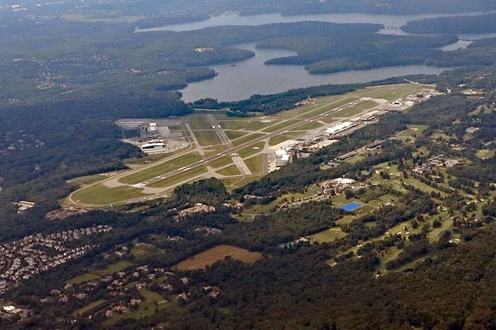
the Stewart International Airport in Newburgh,
the Syracuse Hancock International Airport, and
the Westchester County Airport in White Plains.
Major upstate New York airports include
the Albany International Airport,
the Elmira/Corning Regional Airport,
the Greater Binghamton Airport,
the Ithaca Tompkins Regional Airport,
the Stewart International Airport in Newburgh,
the Syracuse Hancock International Airport, and
the Westchester County Airport in White Plains.
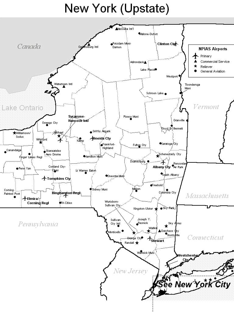
FAA Upstate New York Airport Locator Map
This upstate New York airport map shows commercial service airports, reliever airports, and general aviation airports in upstate New York. Primary airports are designated with an airplane symbol.
Copyright © State-Maps.org. All rights reserved.
New York airport map source: FAA 2001-2005 NPIAS.
New York airport map source: FAA 2001-2005 NPIAS.